
I was psyched up today for the ride, after a good performance yesterday. Today’s route was going to be challenging, since it was going to be over 60 miles and it included 15 miles of dirt road in questionable condition. But I figured I could go hard today, and set me up for an easier day tomorrow. Or so I thought.
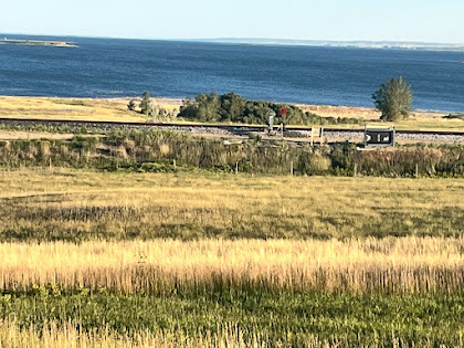
So the day started with a couple of views of Lake Francis Case, which is the name of the river in this region. Lake Francis Case is formed by the Fort Randall Dam, which is nearby but not on my route. The lake is 100 miles long, so I would be seeing Lake Francis Case for several days. I have no idea who Francis Case is/was.
So after crossing the lake my next couple hours of travel was along US 18 - yup, same one that runs on the Madison beltline - which took me to the small town of Bonesteel. Some new crops have begun to show up, with fields of harvested wheat, I think, with the big circular bales. Or maybe just hay fields, I’m not much of a farmer! Also I saw the first of the innumerable Wall Drug billboards. I was going to skip the photo, but decided to snap a shot when the second one showed up a few miles later. Wall is 200 miles away and not even on this highway. So I’ll start counting the billboards now, haha. At Bonesteel I had the luncheon special at the Tee Pee Cafe, which was the first meal I’ve had at a real cafe in several days. Most people around here rely on their local bar and grill, if they want to go out to eat. The population around here is so low that I guess it’s hard to make a go of it, by only serving food.
At Bonesteel, the cycling map provides two routes. The main route which I would guess is the route most cyclists take, follows along regular highways. However, the second choice is ten miles shorter and travels on Old 1806. This shortcut has 15 miles of dirt roads, and some crazy steep hills. I love shortcuts, and I have bike tires that are suitable for dirt roads, so I selected the shortcut route. Also, this route followed the river closely so I also was hoping for some river views.
I am happy I took the shortcut. First there was an amazing descent in which I dropped about 500 feet and registered a max speed of 42.5 mph, fastest of the vacation so far. This was on a paved road, of course. Then the dirt road which climbed back up the hill I had just descended. The road was in decent shape, with only a little washboarding. Some nasty biting flies, but not bad. There were three hills that I had to dismount and push the bike up. But certainly worth the ten miles I was saving. And as a bonus, I got some nice views of the river from 600 feet above. Second bonus: this road topped out at 2089 feet, so I broke through the 2000 foot mark, and got a new max elevation.
Eventually, I joined the main route, which descended back down to the river (still really Lake Francis Case), that I crossed again back to the east side, and stopped at the Snake Creek Campground, my home for the night. It’s a beautiful campground, right on the water, a great spot, except for one very serious shortcoming. The cycling map indicates a restaurant and a convenience store at the campground. But when I went to the restaurant, I had misgivings, there were no cars around. I got to the door, and saw the sign: closed on Mondays and Tuesdays. Today is Monday. Uh oh.
Miles: 62
Elevations: Max 2089 on Old 1806. Min 1392, on Francis Case bridge
Max Speed: 42.5 mph


Lake Francis Case


Wall Drug is 200 miles away


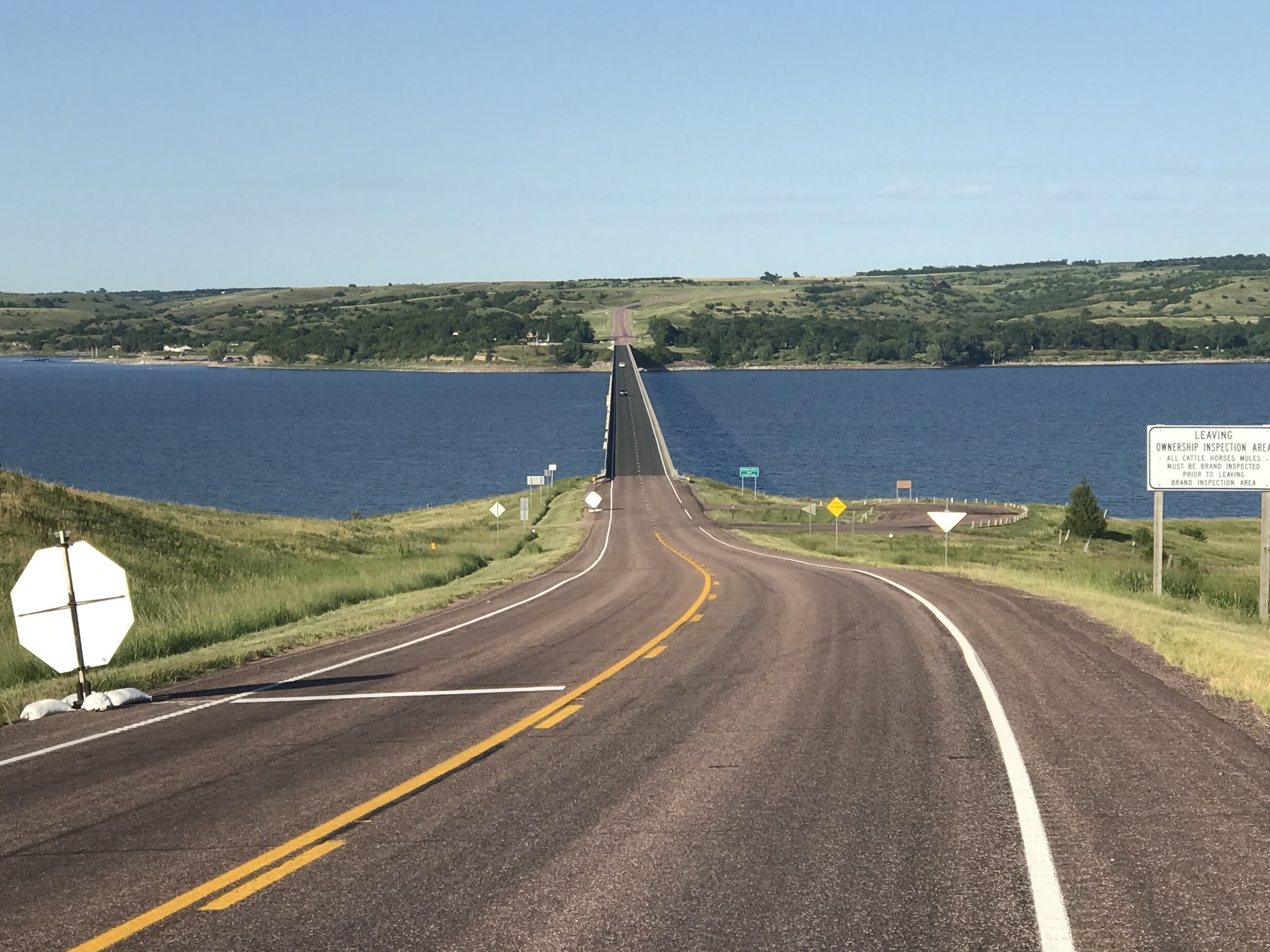


This is actually the bridge back to the east side

No comments:
Post a Comment