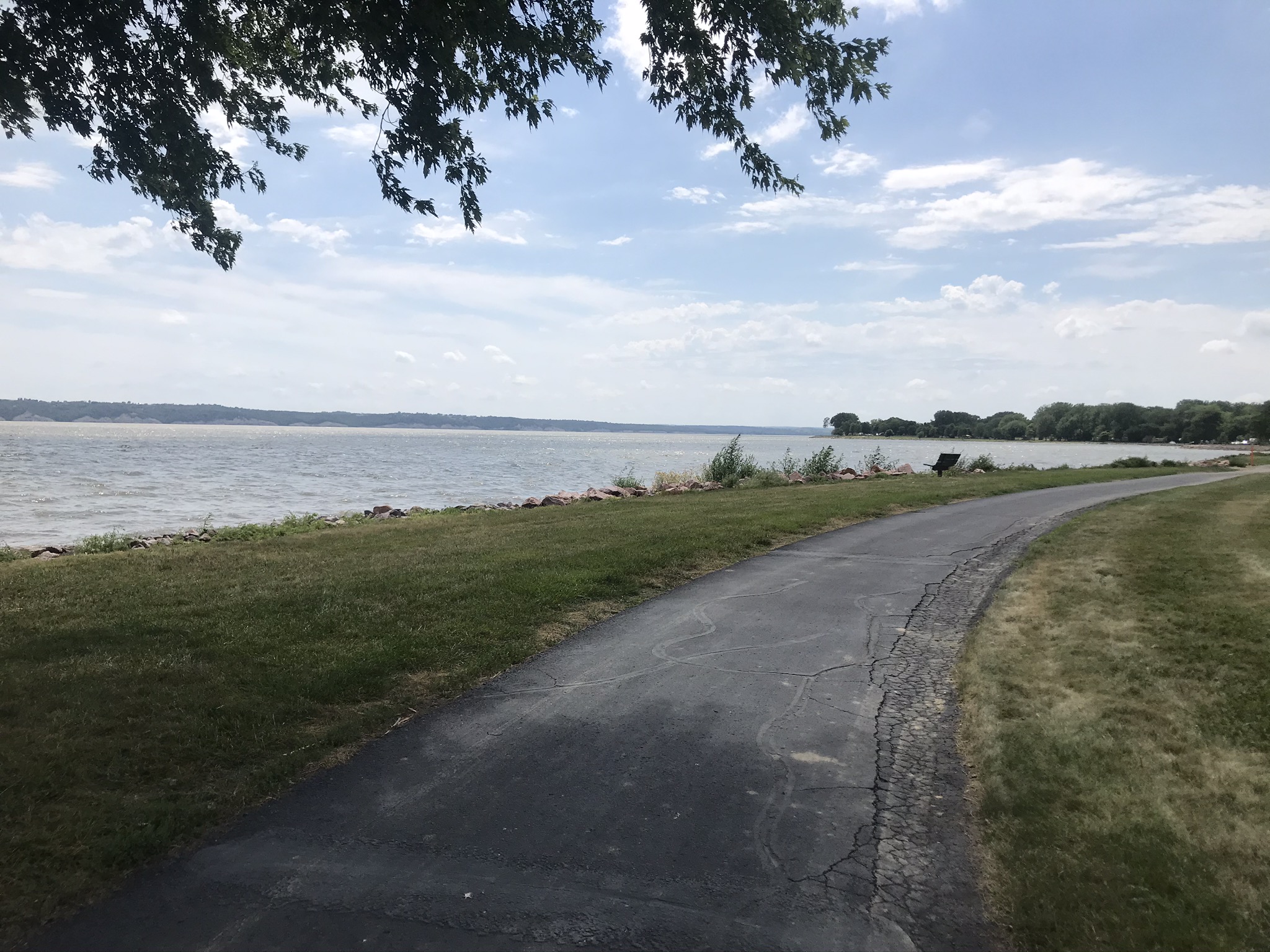
Bike path along Lewis & Clark Lake
This was one of the most.interesting days on the vacation so far. The Missouri River in South Dakota has a very different nature, compared to the states downstream. This is due to four dams which create reservoirs or what in Wisconsin we would call flowages, I believe. The first of these, or rather the last of them from the perspective of the water flowing in the river, is the Gavins Point Dam which is just a few miles west of Yankton. The dam backs up the water into large Lewis and Clark Lake which seems to be about 25 miles long and I estimate about 3 miles wide. The lake is well utilized by South Dakotans as a recreational resource. This was the first place along the trip that I would have considered taking a dip; perhaps I should have, the temp got to 91 by the end of the ride, and the heat definitely took its toll on my performance.
The dam itself is an extension of a huge embankment that was built up by the Army Corp of Engineers. The embankment is about 50 feet high on the Yankton side, and I estimate three miles long, and it forms the eastern edge of Lewis & Clark Lake. The dam itself is impressive also, with a spill (my term) of maybe 40 feet. No water was flowing over the main part of the dam. All the water was diverted into a power plant located on the Nebraska side of the dam. Below the dam, there was a boat with three guys fishing with bows and arrows. I took a side trip across the dam, and wanted to check out the visitors center, which of course, was closed. I should’ve known, but I keep getting surprised by these closures. This side trip probably added 7 or 8 miles to my route today, but was definitely worth it.
Back to some geographics: the string of strong northward achievement has temporarily stalled. During the last two days, the route has traveled principally west. Today I actually lost ground on my northerly quest, ending up in a Springfield, which is about a mile south from Yankton and about 30 miles west. In relation to my home in McFarland, I am about 500 miles directly west. Here in Springfield, SD, I am about 10 miles south of McFarland, from a latitude standpoint. So the temps I experience from here on out should not be warmer than those experienced by most readers of this journal. As I write this, at nearly 8:00 PM, the temperature is still 90 and 94 is predicted for tomorrow (which is Saturday, July 25). One hot summer! I’ve shut things down for the ride for these two days. After this, the next 8 days are all predicted to top out in the 80’s, so much better.
Finally, a comment about elevation, which of course is of primary interest for a bicycle rider! Up until yesterday, the max elevation was around 1350 feet, achieved on day 1 of the ride. That took place on the Military Ridge bike trail, as it skirts Blue Mound State Park. (The top of Blue Mound is around 1700 feet in elevation). Finally today, that record fell, as I climbed out from Lewis & Clark Lake. Today’s ride blew the previous max out of the water, so to speak, topping out at 1625. I was happy to break the record by a large margin, because the measurement at Blue Mound was imprecise, the route being well hidden by heavy tree cover. No question about the reading of 1625. The next big landmark will be breaking 2000 feet, as I begin my march toward the Rocky Mountains!
Miles: 45
Temp: Max 91
Elevations: High: 1635: Low 1140
North component: negative 1.5 miles
Max speed: 26.5 mph


The dam with the power plant on the left side.
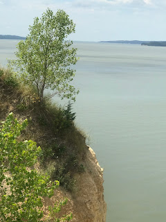 Yup, that’s a real cliff
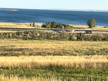
 I like this view looking westerly along the length of

From cliff top looking straight down to water 150 feet below


Lewis & Clark Lake. Taken from the embankment.
 Gavins Point Dam from the Nebraska side
 Another “dam” picture


Very interesting and beautiful pictures. Hope you have more of these kind of days.
ReplyDelete