Tuesday, September 8, 2020

August 13: Washburn, ND. Journey’s End


                                1804 and 2020:  Winter Layover at Fort Mandan, near Washburn ND  


Upon arriving in North Dakota, I made the decision to bring my bicycle journey to an end for 2020. When I made the decision, I arrived at the decision quite abruptly. Meaning the day before, I was still harboring the notion of completing the entire journey this year. There were several factors that influenced my decision. One primary  reason was the remoteness of the territory I would be traveling through.  Had I continued on. ND 1804, I would be traveling for two full days, without a single town, gas station, restaurant, etc. until arriving in Bismarck.  The trail swings westward at this point, and travelers along I-94 will recall that the most frequently seen sign on the exits in ND, is ‘No Services’.  Stocking up with two days or more of water and food on the bike, was not something I would look forward to doing.  The ever present possibility of a bike breakdown also was a consideration.  I was starting to think about the financial cost of the trip also.  The cost of sleeping in motels for another two months, would be considerable.  

One day (on the bike) north of Bismarck along the Missouri River, was the location at which Lewis & Clark decided to build a a fort . At this point L&C decided to stop for the winter, and so shall I. 

Departing from Bismarck I made a short stop at Hawktree Golf Club.  It’s a fairly new course which I remembered visiting while curling once in Bismarck.  It is rated no.19 among best public courses by Golf Digest. The thought crossed my mind to play 9 holes but it wouldn’t have worked out for an arrival at Washburn, the only town along the route today. Truth be told, this corse is too difficult for me also.

It turned out to be another very warm day, and during the mid afternoon, I saw an opportunity to carry through on a goal I had since the beginning of the trip - a swim in the Missouri. For much of the trip, the river looked like a mud puddle.  Here in ND, the waters looked nice clear blue reflecting the skies. A couple of reflections: the water temp was pleasant, similar to an outdoor pool in the summer. The current was very strong, I certainly could not outswim it. And, I stayed near the shoreline.  I’m sure the current was even stronger in the main channel.  And the river is still a very large one, here 1300 miles from the mouth. Several times the size of the Wisconsin River. This just gave me a still greater appreciation of the achievements of L&C, towing boats upstream.  I jumped in while wearing my shorts and shoes. It took very little time for these to dry out later when back on the bike, low humidity in ND.

Finally, by late afternoon, I arrived at Washburn, which is the closest town to Fort Mandan, the winter quarters for L&C.  One more El Cheapo motel, located on the town’s Main Street for me. This motel, which is more commonly used for extended time  clientele, was converted from a clinic and hospital. I was the only resident for the night. In order to get the AC turned on in the first room they gave me, the motel caretaker had to call the owner.  She used a broom stick to open up the register located above the door to the room.  They eventually gave up and put me in a huge double room that had better AC:

Miles: 45.3 
Average 6.8 mph - another headwind for the whole day
Elevations: High 1891. Low 1643
Max speed: 23 mph
 

            View of a green on Hawktree Golf Club, rated  19th best public golf course in the US

                                              Accommodations in Washburn were interesting!

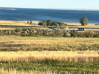
                                                             River view from ND 1804
                                                       View of 18th fairway at Hawktree


                                                        River elevation now is 1649 ft

                                Taking a break from the bike on yet another 90 degree day

Friday, September 4, 2020

Aug. 12: Bismarck sightseeing and Math Q4


                               North Dakota Capitol Building - 19 floors. From the top, see 30 miles?

I stopped at a My Place hotel, a newish chain of motels.  Very nice but less expensive than some of the other motel chains. I decided to stay in Bismarck a few days, and made my reservation on Amtrak from Minot for my trip home.   Sure enough, wouldn’t you know it, the wind shifted on the next day and that headwind into Bismarck would’ve been a tailwind. I guess I just got to Bismarck one day early.

I took a self guided tour of the Capitol Building. As you can see, it doesn’t look like a Capitol. It looks more like a skyscraper. The story is that the original Capitol Building burned back in the 1930’s. When they decided to rebuild, they wanted to build a structure that made efficient use of the space, and they decided a skyscraper office type building was most economical. Inside the building, you miss the central rotunda upward view provided by the. Capitols in Madison and Jefferson City.   However, the main floor is still built in a very grand manner and features a 40 foot ceiling and some massive interior pillars. Floor 18 is reserved as an observation deck, so I was eager to check that out. While the door to the outside was locked, I still got some impressive views from inside.   The  observation deck provides the backdrop for Math Q4, so math fans should check that out below.

While in Bismarck, I also checked out the North Dakota Railroad Museum. On my first day there, I got to talking with the  guy who was managing the museum. Small world moment - the manager used to live in Madison, and I would pass right next to his residence on days when I would ride my bike to work from McFarland.  Amazing how often that sort of thing happens while on a vacation.  I spent so much time in conversation with the friendly guy that I didn’t get to see all of the exhibits and items on display. I returned the following day to see what I had missed.

All in all I spent three enjoyable days in Bismarck before returning to the Lewis & Clark expedition trail.  

Now to some math!  For the answer to Math. Q3, check out the solution at the bottom of this post.  Finally, one more math problem, Q4. The literature at the North Dakota Capitol boasts that on a clear day you can see  from 30 - 35 miles from the observation deck on top of the building. It also says that the building is 240 feet tall.  How accurate is that statement about seeing at least 30 miles?


Miles:  75  (these miles accumulated while riding around the city, and do not count in my distance traveled from the end of the river by St. Louis)
                                    Coast Guard emblem decorates bridge over the Missouri River

                             Southerly view from observation deck on the 18th floor of the Capitol

                                                 Northerly view from same observation deck.


                                                      State Capitol interior view. 40 foot ceiling


                                                              State Capitol interior view. 


 Solution to math  Q3

The question is to determine how many miles in a degree of longitude, for an observer at 45 degrees. North Latitude. This problem is more difficult than Q2, which dealt with the mileage in a degree of latitude.  In the diagram above, we are interested in the circumference of circle BGDF which has its center at point C.  Notice from the diagram the position of angle CBO which is congruent to angle AOB.  Angle AOB is  equal to the latitude measure, hence 45 degrees. Segment OB is a radius of the earth, so we consider that is 25,000 divided by 2pi which works out to about 3979 miles.  This is really close to 4000 miles so that is what I use in the diagram above.  Finally segment BC is  equal to segment OB multiplied by the cosine of 45 degrees.  My calculator shows the cosine of 45 Degrees is about .7071. Then  AO is 2828 miles and the circumference of circle BGDF is  2828 x 2 x pi = 17,772 miles. Finally we are at the point where this problem is similar to Q2.  The circumference of 17,772 corresponds to 360 degrees so each degree is 17,772 / 360 =  49.4 miles.

Additional Comments: My ‘rule of thumb’ for latitude and longitude:

When I am riding my bike, I am always looking at my GPS device which measures latitude and longitude not only in degrees but also in minutes of  latitude/longitude.  There are 60 minutes in each degree, so I divide the results  for Q2 and  Q3 by 60 and I talk about miles per minute of angle measure.  So for Q2, I come up with  69.4/60  =  1.16 miles per minute of latitude, which is very close to 7/6 of a mile.  For longitude I get  49.4/60 = .82 miles per minute.  But 45 degrees is quite a northerly position to measure the latitude - it corresponds to central Wisconsin, and of course most of the country is south of that, and so most of the country has more than .82 miles per minute.  .85 miles per minute of longitude seems to be a reasonable estimate for longitude, and that works out to 6/7 of a mile. So my rule of thumb is: a minute of latitude is 7/6 of a mile and a minute of longitude is 6/7 of a mile.

Finally, one more observation!  On my vacation, my most southerly point (Jefferson City) was 38.5 degrees latitude. A degree of longitude at Jefferson City is about 54 miles. My most northerly point of the trip is Minot, ND at 48 degrees latitude, and the length of a degree of longitude there is 46 miles, which means a difference of 8 miles compared to Jefferson City. That fact rather blows me away. I would never have estimated that difference to be that large, on my little bike trip, compared to the size of the earth!

Saturday, August 29, 2020

August 9: Headwinds on long ride to Bismarck


Believe it or not, this is the North Dakota Capitol building


After a rest day, and finally a good night of sleep at Don’s Motel at Linton, ND I was ready for a long pull today to Bismarck.  My route was a simple one, 41 miles north along US 83, followed by 21 miles west to Bismarck.  No towns along the way, in true ND fashion.  A nice cool morning to start, the first twenty miles were uneventful. I just wish I had gotten an earlier start, and got more miles down the road, because suddenly at around 10:00AM the winds began. Winds which did not letup for the rest of the day, from the northwest, at 22 mph. This was just bad luck; wind from the north or wind from the west would’ve been ok. Northwest meant no break for 40 some miles.  The wind would gust up to like 30 mph in some places. This was the toughest wind day of the entire vacation. The next day, the wind reversed and came out of the east which would’ve been an awesome tail wind. I guess I just got to Bismarck one day too early.  

Along the way on Highway 83 I passed an unusual sign which turned out to be a memorial for five men who died in a car accident. I looked up a news clipping on the internet; the story is that the accident happened about 2:00AM. Two cars had a head on collision. One car with three occupants were carpooling home after the night shift from their jobs in Bismarck. The driver of the other car crossed over the centerline causing the crash. It was a reminder to me that it is vitally important to remain conscientious about safety at all times, and that it is late in the day that mistakes are most likely to happen when the brain is tired. 

Eventually, I did reach Interstate 94, the same road near my place in McFarland. I had two options for the last 21 miles to the west to Bismarck. One was a frontage highway which parallels I-94, the type of road I’ve taken to good advantage in other places on the trip. The alternative was 2 miles further, right on the shoulder of I-94.  Some of the western states permit bicycles on the Interstates, riding along the shoulder of course. This decision may seem to be a no brained, to take the frontage Highway, Actually I took the Interstate, even though it was longer. Can you figure out why?

My average speed along Highway 83 was around 6 miles per hour.  It takes a good long time to travel anywhere at that speed!  Along the frontage road, Bismarck was still three and a half hours away. The advantage of the Interstate was the drafting effect I would get when semis and large RVs pass by. 
My gamble paid off: the drafting improved my speed to about 8 mph.  I got to Bismarck about 45 minutes earlier than along the frontage road.  So math to the rescue! 

Miles: 62
Average speed: 7.2 mph
Max speed: 16.7 mph


                                     Rural US 83, traveling northward in Nort Dakota
             Cows were fairly uncommon; this herd stopped to look at me so I took their picture


Look closely: this was a welcome sight

Saturday, August 15, 2020

August 7: Route 1804: A bit too “Lewis & Clark” for me


                                             Lawrence Welk grew up near Strasburg, ND

So last time I posted my experience for lodging in Pollock, South Dakota. Pollock is the last town, actually the last of anything in SD. Talking with some of the locals, my concerns were confirmed: between Pollock and Bismarck ND, along Highway 1804 - my route on the bike mapI s- there are no services at all. This is a ride of two days.  Which meant carrying food and water on the bike, enough for two days.  And of course, if I have a bike breakdown, well who knows??  When this vacation started I remembered thinking it would be fun to somewhat relive in a modern fashion, the L & C experience. Meaning being self sufficient for food and other necessities.  However at this point, that didn’t seem fun at all! I’ve been spoiled by my lifestyle. And L & C had guns and abundant game which  provided them their meals.

It was also in Pollock that I met the only other cross country cyclist along my journey. Her name was Triva, from North Carolina, and riding across America. But neither of us realized what that entailed, in this part of the country.  The option was add twenty miles to the route, and jog east back to venerable US 83, the road which would be my companion all the way to Minot. At least there were a couple small towns on Highway 83.  That was my choice, and later I found out that Triva had made the same choice.

So another ten miles back east - seems like I’ve been doing that a lot lately on a trip with the objective of the Pacific Ocean. A benefit though was that I had a chance to visit Strasbourg, ND, which was the boyhood home of Lawrence Welk. I didn’t go to the actual residence, since it was off my route a ways, and the day was getting hot again.

The second town I visited was Linton, which is a county seat; population about 1000, so a moderately sized town by ND standards.  I opted for Don’s Motel, which turned out to be a nice place, and probably half the price of the chain hotel across the street. I found myself doing that quite often on the trip, since the cost for sleeping was my biggest expense. Don was very friendly, and gave me some important information; I decided to spend a second night there.   There was actually a heavy rainstorm in the morning, so staying there was a good idea.  The next ride was going to be a long one,  65 miles to get to Bismarck. 

Linton was a another prototype small town, like so many others on this vacation. Usually only one place available to get a meal in the evening, invariably a bar and grill place. That’s where everyone went of course. So many times, I would meet for a second time a person that I met earlier in the day, in the town.  I ended up eating a lot of fried food on the trip. All these menus seem to look the same after while. There was actually a pizza restaurant in Linton, that was my first choice. But it closed at 7:00PM on Friday’s, and didn’t even open on Saturdays.  One surprising aspect of these small towns, with populations From 500 to 1000. They all had municipal swimming pools, and they were always open.  It reminded me of my childhood, and how we would pass the summer. Keeping cool at the local pool.  It’s surprising to me how few of the towns near where I live have municipal pools. McFarland does not. Even Madison had no local outdoor pool until relatively recently. One more note: the pools in South Dakota all had high diving boards, another throwback to my youth. 

Miles: 39

North progress: 25.2 miles  West progress: negative 2.5 miles

Elevations: max: 1820;  min: 1629

Max speed: 24.8 mph

                            So many sunflowers, I didn’t know they were such an important crop.
                    North Dakota likes to let you know when you’ve crossed the state line.
           South Dakota, not so much.  My entry into SD, back near Elk Point, had no state line sign at all.

                                                                   My Covid profile.  


Thursday, August 13, 2020

August 6: My night at the fishing bait tackle and lodge in Pollock


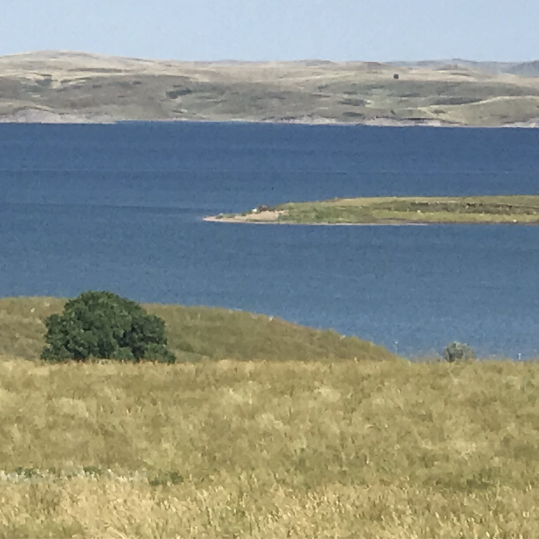
                            Nice view of Lake Oahe between  Mobridge and  Pollock, SD

Today, I take my final ride in SD, as I travel to Pollock, the last place in SD. This makes 17 days in South Dakota;  Elk Point on day 1 seems like a dim memory. The Missouri River travels more miles in South Dakota, than any other state so far.
I greet the day by seeing fog hanging low over Lake Oahe.  The sun eventually burns off the fog, and the rest of the day my views of  Lake a Oahe are unimpeded. My route continues to be on SD 1804.  Just out of Mobridge I see  a sign on 1804 indicating the next 35 miles will have road construction.  Wonderful, that happens to correspond exactly to my mapped route!  It turns out that I never come across a work zone; the road construction was in the form of a new layer of oil. Luckily the oil must have been applied  a while ago, as the road surface was dry for the most part. 
I had great weather today, and highway 1804 provided some really scenic views. I really appreciated the contrast in color displayed before me, with the variety of crops and cloudless sky. No complaints about the road or route today. 
But the most interesting part of this day took place after the miles were finished. I arrive in Pollock around  5:00PM. There’s a grocery store, a bar and grill, and the Pollock fishing lodge. My maps indicate lodging available in Pollock, so this must be it. I enter the business and talk to the owner about a place to stay.  Sure he has a couple sleeping rooms in there that are available. I’m sure these rooms are most often used by customers who need a place to stay, before or after their guided fishing trip.  I check out a room, and it seems OK. At 6:00 PM, the owner gives me the key to the front door, and leaves for the day!  It’s me, myself and I in this place and nobody else. The place is a bit messy, to put it kindly. The guy is obviously a successful fishing guide, by taking a look at all of his plaques.  But I’m guessing the place hasnt seen a broom in a while.
Needless to say, it turns out to be one of the most unusual sleeping accommodations I’ve ever stayed in.
I get up fairly early, and load up the bike. I leave the key in the hiding place the owner indicated, and I’m on my way to my next adventure, without ever seeing.  anybody else inside the place. The following day I find out there actually is a normal motel in Pollack.

Miles: 37.4 
Northern progress:;25.1 miles: western progress: negative 7.8 miles  (I.e., I actually traveled to the East
Elevations:  Max 2101; Min. 1640; 
Max speed: 35.5 mph


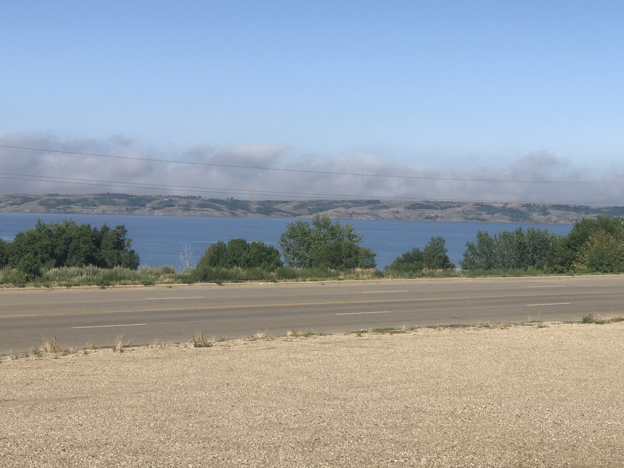
                                        Fog in the morning over Lake Oahe at Mobridge


                             Turned out to be a false alarm. Did not come across a work zone

                                                      Nice contrast in colors

 Wind farm along the route

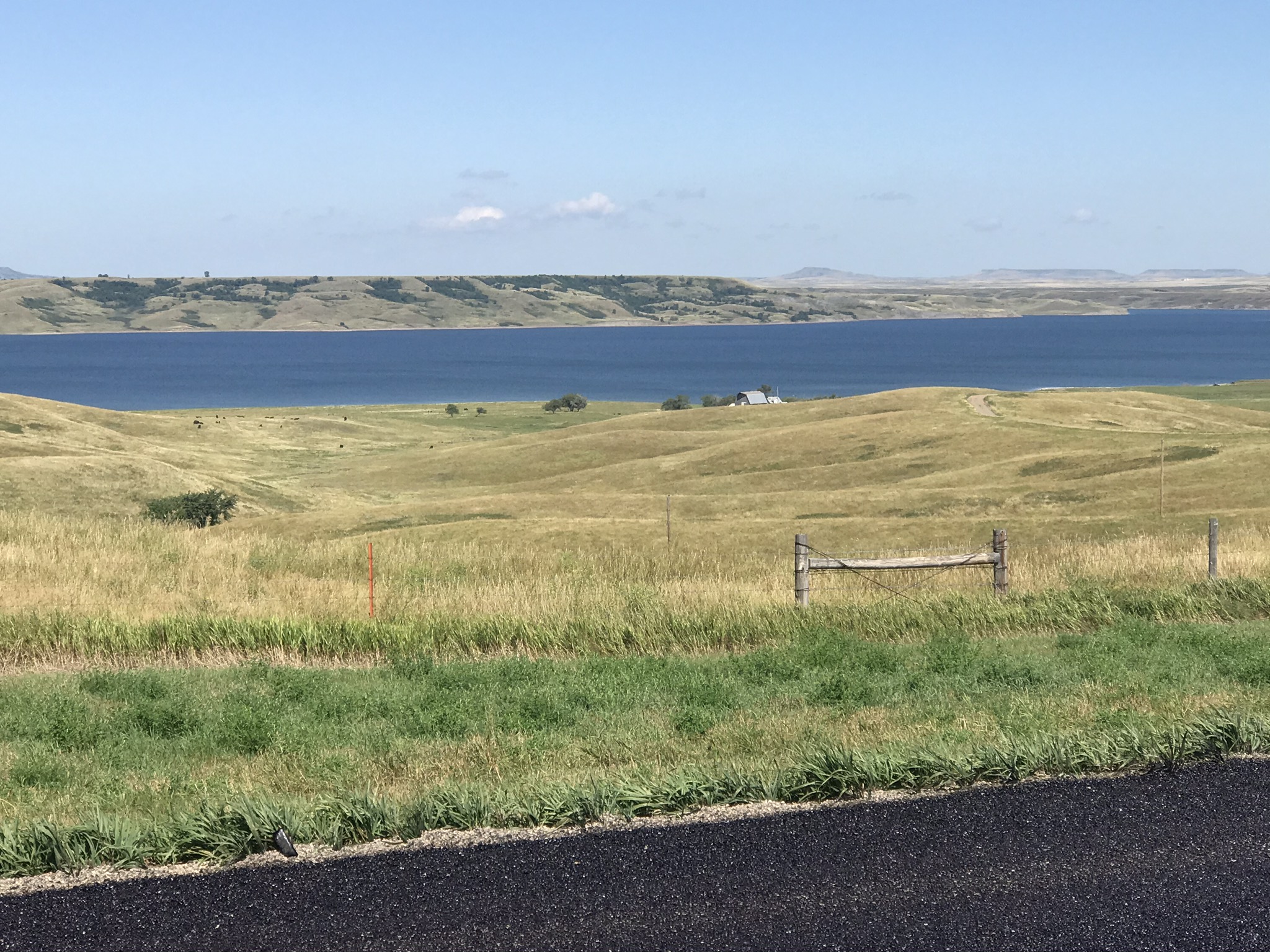
Scenic route along Lake Oahe 

Beautiful weather today

                                                   Pollock Lodge - looks kinda sketchy!
The owner must be very good at fishing - awards wall

The place is a bit junky 
This is the table from which the business arrangements as fishing guide happen
 
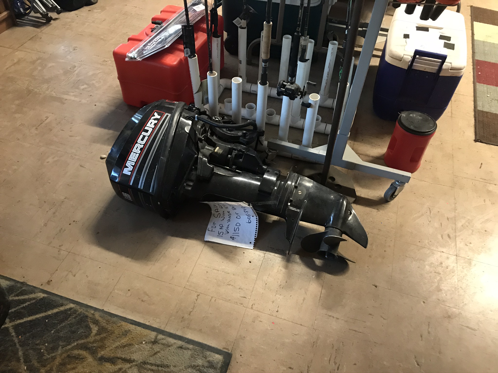
Anybody need an outboard motor?

Saturday, August 8, 2020

August 5: Mobridge SD


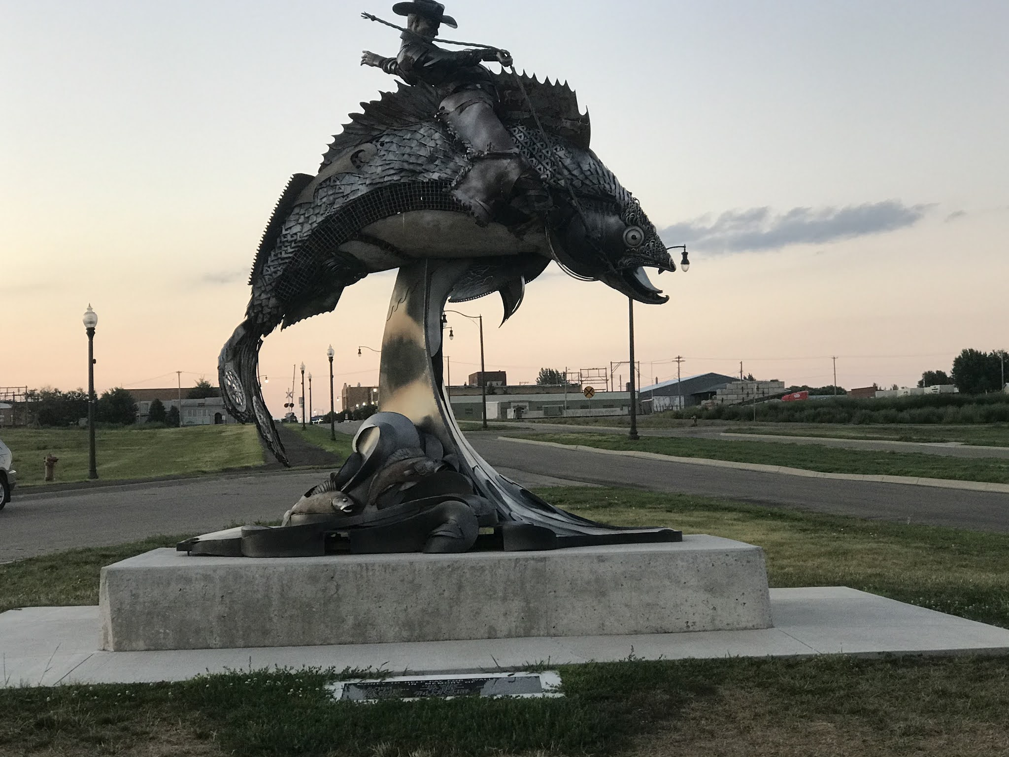
What in the world is this? And where is it?And why is my blog program now using blue font and underline?  The first two questions I can answer.  If someone knows how to turn off the blasted underline, please send me a text, or fix it!What it is: a statute titled WalleyeUp (I guess like in giddy up). It is located in Mobridge, SD.   It is made from many miscellaneous, metal pieces, just like you see with some dinosaur statues.  The statue depicts a cowboy riding a fish.  This is probably the most interesting thing in Mobridge, but I can probably find a few other items to talk about during today’s ride.So first about fishing:  fishing, especially walleye fishing is a big deal for Lake Oahe.  My accommodations on Monday, Tuesday, and tomorrow in Pollock, were all fishing guide businesses.  They say it’s some of the best walleye fishing in the world.  So if you like fishing for walleyes, now you know where to go.So speaking of Mobridge, can you guess, how the city got its name?  It came to me as I was riding along, entering the city.  If you’ve heard of Cambridge, in the UK, you’re on the right track.Today was a beautiful day with some of the best scenery of the trip.Miles:   31:  North progress  14.4miles. West progress:  15.8 milesElevations: High: 2004. Min. 1632Max speed: 27. mph

                                                      Sunset on Lake Oahe..
                 The. Road between Akaska and Mobridge: Very scenic
                                                         Sunset on Lake Oahe
                                    One more scenic view of the road to Mobridge

Friday, August 7, 2020

August 4: Gullywasher, and Math Q3

                       Threatening Skies. Maybe I should have paid some attention 

So today, my ride starts with 11 miles into some of the strongest wind of the trip, coming out of the southeast. You might be wondering why I am heading into a southeasterly wind. It’s because my route is closely following the Oahe lakeshore, and while the lake is primarily oriented north to south, the lake is very winding. Sometimes it jogs to the west.  Other times to the east. My attitude about the skies was rather cavalier as I had not encountered any severe weather at all on the ride. Very 6 littl rain, and when it rained, just showers. The picture is facing northwest so that southeast wind should blow the storm away from me, right?

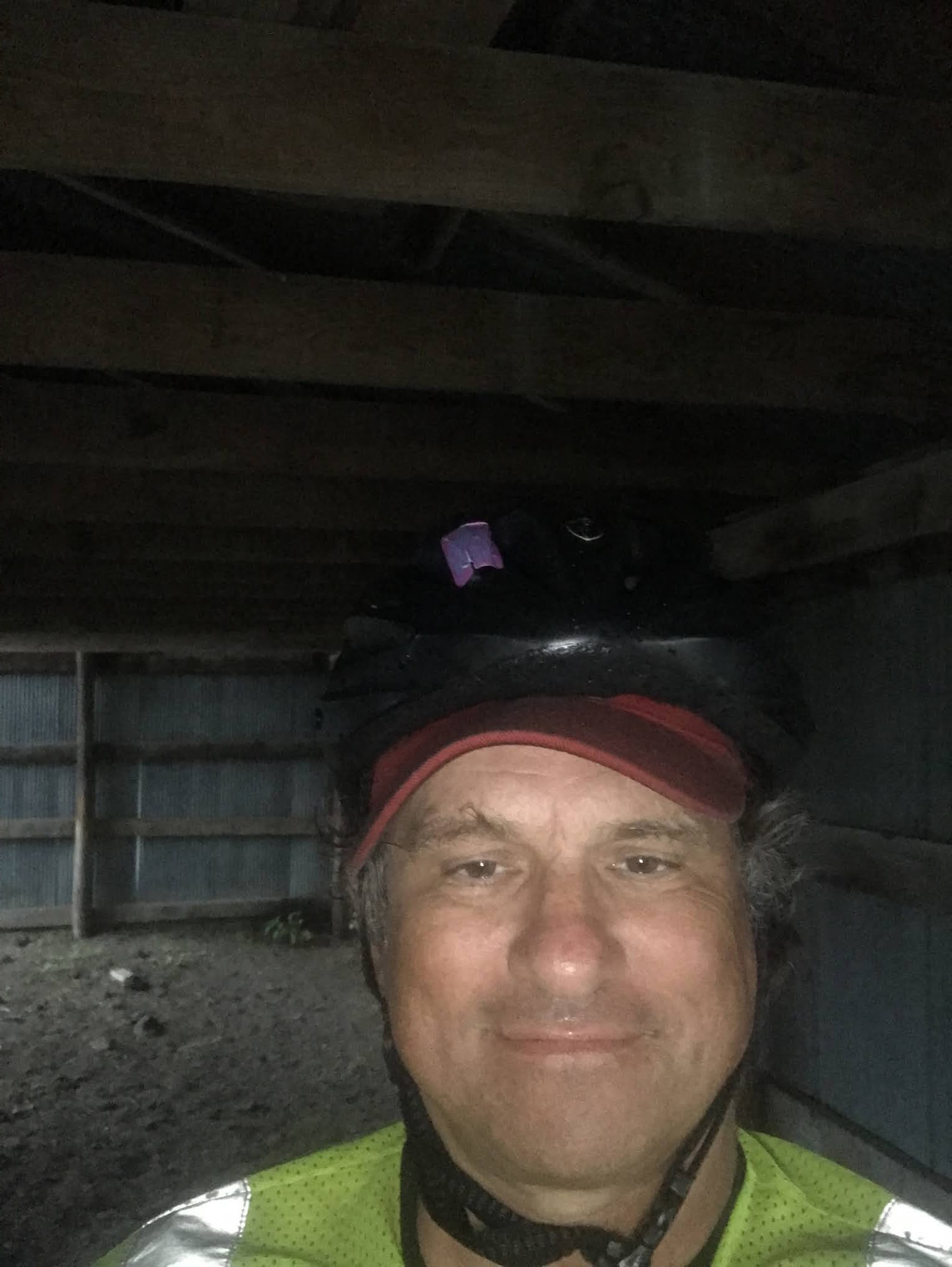
Except that I don’t think wind direction really influences storm tracks. The storm was not in the weather forecast.  At least no forecast that I had seen. So I turn the corner after 11 miles and head northward - toward the storm, moving along nicely with the now favorable wind.  After a few miles it became apparent that I would be getting wet, but I did the same as the other times in ra8n and just kept riding. At last until I hard the first rumble of thunder. At that point I began to look for shelter, and there were no buildings nearby.  At first I found a large culvert that went under a side road,  and I spent about 15 minutes there.  Not a great place because I figured lightning could strike the culvert.  The storm seemed to be letting up so I emerged from my spot, and had a chance to talk with a passing motorist.  He mentioned there was more on the way and 8 saw on m6 NOAA weather app that he was right. So I decided to look for a better shelter.  Within minutes I found it, an old metal shed, out in a field, which I saw I would be able to get inside, because some wall panels were missing.  It was perfect, and that is where I waited out the storm.  My estimate is that it rained for two hours all told. 

When the rain finally abated, I got back on the bike and finished the ride 10miles later at Akaska, a town with a population of 43 people, which includes me,

Miles: 38
 North progress: 22.7 miles; Wesr progress negative 7.8
Elevations:  max: 2112; min 1782 feet
Max speed 26.3 mph


Math Q2: My answer:  The question is how many miles are there in one degree  of latitude  on earth?  First of all, to answer that, we need to realize that meridians are great circles on the surface of the earth, and degrees of latitude are marked out on meridians, just like  units marked along the y axis on  an XY coordinate diagram.  So the key fact we need to know is the number of degrees are there in full circle.
There are 360 degrees in a circle, and one great circle represents 25,000 miles. So we divide 25,000 by 360, and I get an answer of 69.44 miles.  Basically, when I am doing a latitude calculation, I round it to 70 miles.

Math Q3:  if you liked that question, try this one: how many miles are there in one degree of longitude?  You might need a little trigonometry for this one, and let’s assume along with the 25,000 mile circumference, that  I am riding my bike at 45 degrees  north latitude. Close enough for our purposes.

                                              Maybe not quite a flash flood  - But it did rain hard
                                   Drying out while the storm continues
                My shelter from the storm - a metal shed which has seen better days.

August 11: Parshall and New Town

Van Hook Bay of Lake Sakakawea near New Town A familiar foe showed up on day 4 - a tough headwind.  Generally, this year I found the cycling...