Friday evening: Man’s work for the week is over, but God’s work continues unabated.
One final day on the bike, as I take leave of my constant companion, the Missouri River, and ride to Minot where I will catch The Empire Builder, for the trip home. This day was remarkable in several ways, in addition to being the last biking day ( I am not counting the ride home from the train station in Columbus, although it turns out that ride exceeded 30 miles.) I have a good lighting system on my bike, but I found myself riding the bike after sunset only twice during the vacation. This was one of those nights. The other night ride was to Higginsville, MO. This ride also was the longest for any day of the trip, coming in at 69 miles. That beat the old record of 64 miles on my travel day in Missouri to St. Charles from Louisiana along the Mississippi River.
I can truly say that some of the riding days I put in at the end of the trip, I could not have completed at the beginning. I don’t think I could’ve handled that headwind on the ride to Bismarck, had that been my challenge at the beginning of the ride. Or let’s say that I wouldn’t have been able to jump on the bike the next day, with fresh legs. And certainly I became somewhat acclimated to the heat over the summer, as I found myself riding on 90 degree days. So it was fun to see my fitness improve at least a little bit.
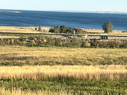
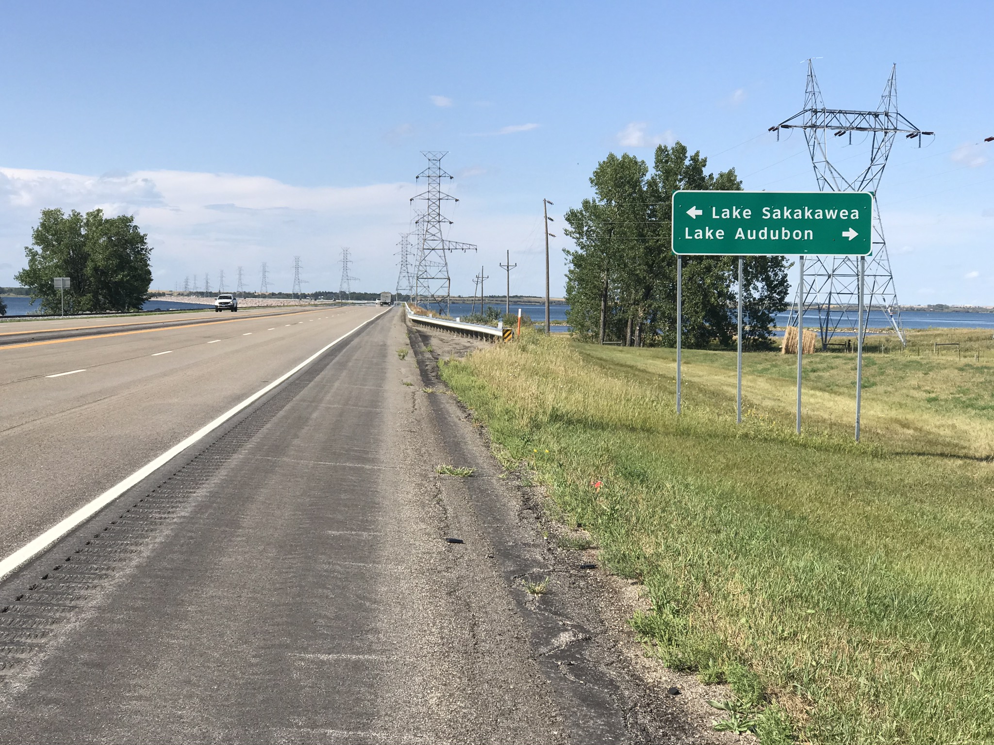
The scenery highlight of the day was Lake Sakakawea. Named after the Indian maiden who joined the Expedition, most of the rest of the country call her Sacajawea or Sakagawea. Actually this is the a area where she lived, and returned to, after the Expedition. Lake Sakakawea, like all of the their large bodies of water in the Dakotas, is man made, as the Missouri is backed up by the Garrison Dam. Highway 83 creates a causeway between two bodies of water, which is a couple miles long. Certainly one of the scenic highlights of the trip! My favorite picture of all of the Missouri River pictures is the last one, which shows the lake shimmering in the late afternoon sun. If I decide to continue the ride sometime later, this will be my starting point, a point over 1300 miles from the start of my ride at St. Louis.
So after I take leave of Big Mo (anybody remember Mobridge?), I have about a 40 mile ride to Minot, right along the shoulder of good old US 83. Along this final stretch of the trip, I achieved a new max elevation of 2243 feet, so I guess I can say I left the trip on a high note! I snapped the photo at the top of this posting, as the sun was sinking on this, a Friday night. Too bad I didn’t think to make this photo a video, it would have made my point more plainly. A metaphor perhaps of my journey, a video would have shown the machines to be at rest, and the windmill still churning, on the left horizon.
So for folks following along on my journey, I plan one more posting to the journal after this one, to summarize, and wrap it all up with some final thoughts.
Miles: 69
Elevations: High 2243 Low 1718
Max Speed. 22.7 mph


 |
| I’m getting close to Canada now! |